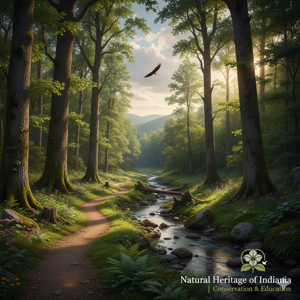
Home | Natural Heritage of Indiana | Conservation & Education
Indiana is a state defined not only by its rich cultural traditions but also by its extraordinary natural landscapes, ecosystems, and biodiversity. The “Natural Heritage of Indiana” is more than a phrase; it represents an ongoing commitment to protect, preserve, and educate future generations about the remarkable resources that define the heartland of America. At the intersection of conservation and education, this initiative seeks to ensure that Indiana’s forests, wetlands, prairies, rivers, and wildlife continue to thrive while serving as living classrooms for people of all ages.
Celebrating Indiana’s Natural Identity
When people think of Indiana, their minds often wander to agriculture, small towns, and historic landmarks. Yet beneath this identity lies a deeper, wilder story—one shaped by glacial landscapes, fertile soils, and waterways that have nurtured life for millennia. Indiana’s natural heritage encompasses a wide range of ecosystems: the rolling dunes along Lake Michigan, limestone caves in the southern hills, hardwood forests in Brown County, and tallgrass prairies that stretch toward the horizon.
Each of these places is home to a unique variety of flora and fauna, many of which cannot be found anywhere else. Protecting these species and habitats is not just an ecological duty; it is also a cultural one. They form part of Indiana’s legacy and help define what makes the state special.
Conservation as a Shared Responsibility
Conservation in Indiana is not simply about drawing boundaries around nature preserves. It is about creating strategies that balance human needs with ecological health. Efforts include habitat restoration, invasive species management, water quality monitoring, and wildlife protection. State agencies, nonprofit organizations, universities, and local communities all play a role in safeguarding the land.
For example, the Indiana Department of Natural Resources and numerous land trusts have worked together to restore wetlands that improve flood control and provide homes for migratory birds. Farmers are adopting conservation practices such as cover cropping and reduced tillage to preserve soil fertility while reducing runoff into rivers. Even in urban areas, initiatives like tree planting and greenway development are helping communities reconnect with nature.
Education: Inspiring the Next Generation
One of the core pillars of the Natural Heritage of Indiana is education. Knowledge builds appreciation, and appreciation leads to stewardship. Schools, universities, museums, and nature centers across the state bring conservation concepts into classrooms and field trips. Students learn about geology by studying Indiana’s limestone quarries, or about ecology by wading into restored wetlands to collect data on water insects.
Beyond formal education, public outreach is equally important. Workshops, interpretive programs, guided hikes, and citizen science projects allow people of all ages to engage with the environment. Families can learn how to create pollinator gardens at home, while volunteers contribute to bird counts and invasive species removal. This blending of learning and action creates a culture of participation, ensuring conservation is not an abstract idea but a lived experience.
The Role of Community Engagement
The natural heritage movement in Indiana thrives because communities are at its heart. Local festivals celebrate native plants, farmers’ markets highlight sustainable agriculture, and community organizations host events that blend cultural heritage with ecological awareness. These grassroots connections remind us that protecting the environment is not a separate endeavor—it is woven into daily life.
Collaborations between tribal nations, conservation groups, and state agencies also bring Indigenous knowledge into modern conservation strategies. This acknowledgment of traditional ecological wisdom enriches both science and culture, providing a more holistic understanding of stewardship.
Challenges and Opportunities
Like many states, Indiana faces challenges in maintaining its natural heritage. Climate change alters weather patterns, threatening habitats and species that have existed for centuries. Urban expansion consumes farmland and natural areas. Invasive plants and pests disrupt delicate ecosystems. Yet with these challenges come opportunities for innovation.
Indiana’s universities are conducting pioneering research in sustainable agriculture, water management, and biodiversity conservation. Technological tools such as GIS mapping and remote sensing provide new insights into habitat health. And growing public awareness fuels political and financial support for conservation initiatives.
A Vision for the Future
The Natural Heritage of Indiana is not simply about looking back with pride—it is about looking forward with purpose. The goal is to create a future where conservation and education continue to strengthen each other. A future where children grow up with a deep connection to the outdoors, where farmers and conservationists work side by side, and where natural resources remain abundant and resilient.
By integrating conservation science with public education, Indiana builds not just a legacy of preservation but also a culture of care. Protecting the state’s natural heritage is an ongoing journey, one that requires commitment, collaboration, and creativity.
Closing Thought
Home is more than the place we live; it is the land, water, and living systems that sustain us. For Indiana, that home is defined by an extraordinary natural heritage—one worth conserving, celebrating, and passing on. Through education, stewardship, and community, Indiana stands as a living classroom and sanctuary, ensuring that future generations will inherit not only the beauty of its landscapes but also the wisdom to care for them.